 by
by Following on from my last small post about Ubuntu Touch:
I have now done a small amount of testing with the uNav app on Ubuntu Touch on my Sony Xperia X using offline mode and can say that it works just as I had hoped! I prefer to use offline mode with data “onboard” because I´m just a bit scottish with wasting cellular data on navigation when it´s free and available at home on WiFi.
As a family we are probably a bit spoilt as navigators go, I use a Garmin Zumo 590 for motorcycle touring and long distance car driving, we have VW and Citroen navigation systems built in and use Sygic (full version) and, of course, the ubiquitous, Google Maps in everyday life. This means that we are used to pretty slick and matured navigation systems with bells and whistles and whatnot.
I did the first test with my nine year old daughter doing a local trip. I had some trouble getting a location fix to get started but leaving the phone outside on the dashboard of the car for five minutes got it sorted and I suspect that this was more to do with not having used location services on the phone much before so not a uNav issue. We fired up the OSM scout server with some local maps downloaded and then uNAV. Finding the address to go to worked well within the app, we pressed start and I instructed my youngest daughter as a “biological phone stand” to hold it so we could both see it and to observe it closely.
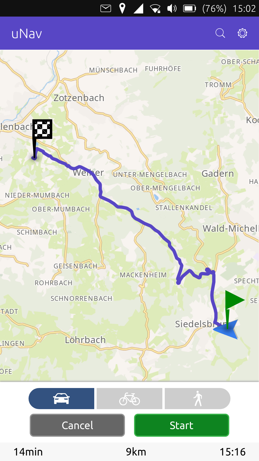
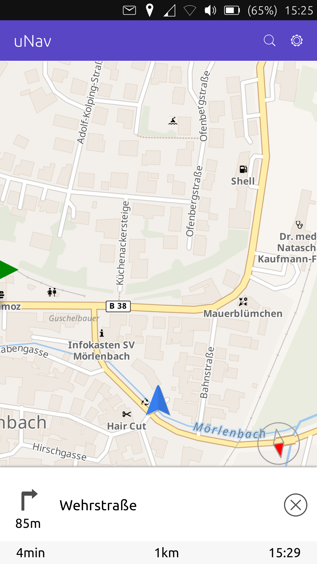
uNav speedily chose the fastest route and off we went. The fastest route has, unfortunately, been resurfaced recently and is still closed so we had to detour along a parallel route. It took about 500-1000m for the device to realise this then it recalculated and took the parallel route. This was exceedingly bendy so a small comment here, the display refresh rate is approx every one or two seconds, it is accurate and fine on straightish roads but could do with either a higher refresh rate or a bit more damping on bendy roads because otherwise the display swings a lot. The display is, however, quite beautiful and finely laid out and I like it. Is definitely more aesthetic than, say, Garmin standard and less cartoony than Google maps.
My daughter said that it looked “funny” but didn´t comment further, I think she has been brought up on too many commercial dedicated navigation devices and doesn´t share my interest in niche products, such is life. The instructions were clear and correct and it took us to our destination without any issues (equestrian supply depot).
I shall continue testing it out and also test the new landscape mode when I have found my proper phone holder to attach it up near the windscreen. First tests are very promising and pretty darn good. I really like the ability to have offline maps and this worked very well. Landscape mode is useful and I use it on the motorcycle to see where the road is going although I can get on with most display modes quite well. Ubuntu Touch seems to now have a functioning offline navigation system. Well done!


